MaxarThe newest high-resolution, highly accurate satellite to join the world’s leading constellation. WorldView-4 represents an investment in the future, and in continuing to help you solve your real-world problems. Geo-Surveys and Mapping is eagerly anticipating its launch very soon in order to harness its capabilities designed to help you plan your development strategy.
|
|
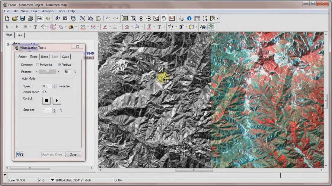
PCI - GeomaticsCatalyst offers Live DEM Editing, a new, more efficient way to produce terrain models for orthomosaic; Smart Geo-fill, an advanced geosnatially intelligent copy/paste tool to rapidly improve imagery; and Python Scripting, a free, powerful, open-source scripting software to leverage your imagery for use in ArcGIS and other GIS applications.
|
|

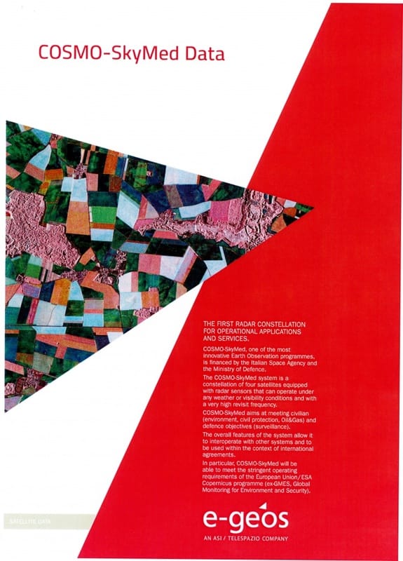
E-Geose-GEOS, an ASI (20%) / Telespazio (80%) company, is a leading international player in the Earth Observation and Geo-Spatial Information business.
e-GEOS offers a unique portfolio of application services, also thanks to the superior monitoring capabilities of COSMO-SkyMed constellation, and has acquired leading position within European Copernicus Program. |
|

MapptMappt is a powerful, offline Android GIS application used to capture and manage geospatial data in the field. Our low-barrier-to-entry GIS is designed for professional data collection, with easy to use tools that allow you to create, edit, store and share data with one light, mobile device.
|
|

